Borewell water detector

Hi,
I have a small land at Neral, Maharashtra which is a hilly area. Once monsoon & winter gets over, we get severe water problem. Tried to find borewell options in couple of times. But at both the times, identifier gave two different locations. So don’t know where to drill. So before going drilling , I wanted to be assured . hence I am desperately looking for some genuine person or company who can identify underground water storage at my place. There is a river flowing 3 kms away from my place. Couple of land owners in my area tried for borewell , but they didn’t get water.

Can you pls help me in knowing the name & contact number of Genuine water dedecters . Thanks!

Lot of people think there is a huge source of water below ground, even I had same assumption untill few years back. It is a myth. The ground water is a percolated rain water. well dowser can help you to find a borewell point, you have to find a permanent soultion.

If your neighbouring farmers did not get result, then it is evedent that water percolation is very poor. See below link, in my opinion what these people did was a miracle. They rejuvinated a dead stream and made as it was few years back.

saranghills.org/cultivating-water

Dear Sri,
thanks for sharing details.

see below video, to avoid gushing down water,

youtube.com/watch?v=y9D-gWk4S5U

Dear Sir,

As rightly pointed out by Mr. Sri that - " The ground water is a percolated rain water" u need to understand the Gravity belt in & around your plot area, Water finding survey, plays an important role for locating the Gravity Belt by studying the following five aspects -

  1. Topographical Situations of your plot i.e. the slope, elevations etc.

  2. Gelolgical situation of your plot area i.e. the Vertical height & Horizontal disctance of your plot from the Sea Level.

  3. Natural Growth of Vegetations -

    Various ecological and environmental interactions are mentioned as indicators of groundwater under the following
    headings: (a) phreatophytes, (b) symbiotic intergrowth of trees, i.e. a tree united with another tree species, and
    morphological, physiological, and mutational features of plants and plant cover.

    The occurrence of water below the surface at depths ranging from 3.43 to 171.40 m with the help of various plants
    and grass varieties could be known.

  4. Considering Previous records of the surrounding areas borewells & wells -

    Our experts makes a study of all available information on existing wells i.e. information pertaining to the drilling
    and construction of wells would be the main sources of information, depth. thickness. and description of rock
    formations penetrated: water level variations as successive strata are penetrated; yields from water-bearing
    formations penetrated and the corresponding draw downs; the form of well construction; and the yield and
    draw down of the well upon completion. variations in yield and water quality and a history of any problems
    associated with the well since its completion.

On the elevated plateau tops having good areal extent, local water table develops in top most layers and the wells in such areas show rapid decline water levels in postmonsoon season and go dry during peak summer. In the foot hills zone the water table is relatively shallow near the water courses and deep away from it and near the water divides.

Therefore, the dugwells located in the topographic lows, morphological depressions and on or near the lineaments yield comparatively more water than the located elsewhere, which is particularly true in basaltic terrain.

Drilling of Borewell -

The borewell is drilled by the DTH (Down The Hole) method, In DTH drilling the percussion mechanism – commonly called the hammer – is located directly behind the drill bit. The drill pipes transmit the necessary feed force and rotation to hammer and bit plus compressed air or fluids for the hammer and flushing of cuttings. The fast hammer action breaks hard rock into small flakes and dust and is blown clear by the air exhaust from the DTH hammer, in this process, due to higher ROP (Rate Of Penetration) the borewell with the mediocre yield may end up giving no yield due to the cementation caused due the dust & water (Influxes) on the wall of the borewell.

Therefore, to get the water yield available in the borewell, we have to maintain the Annular Velocity of minimum 3000ft/min for cleaning of the borewell & 5000ft/min for the optimum cleaning of the borewell, by introducing the appropriate amount of Drilling Fluid (Water) to avoid the influxes in the annulus that may restrict the bore hole cleaning with continued Air drilling in the presence of water.

I have tried to explain here the basics for determining the best water location based on the Universal principles of Water.

We undertake ‘Turn-Key’ projects for water resources development & water distribution systems.

We welcome you to view our comprehensive website www.borewellsint.com in order that you may see the full scope and capabilities of our company.

Regards,

YASH D SHAH
Mobile - 8652810004

Dear Farmers and Friends,
,Please don’t get services from the persons applying nonscientific instruments and methods. Only Resistivity Method in groundwater exploration, consuming more and more time is authentic.

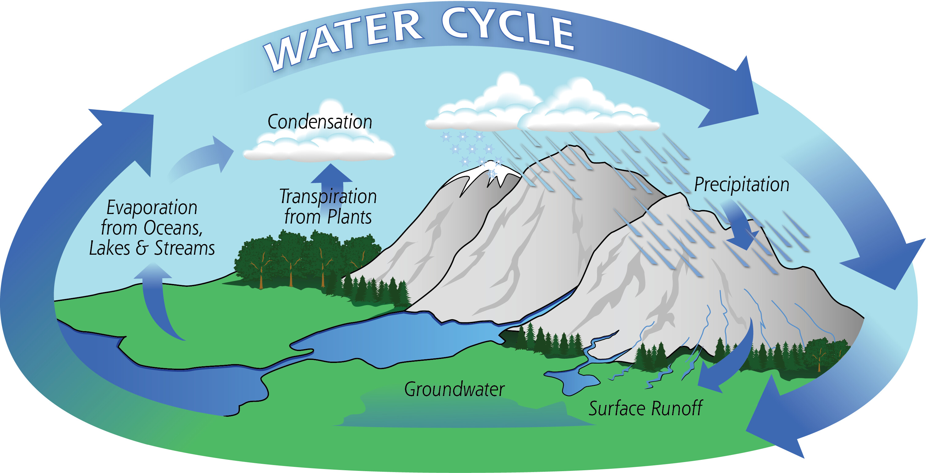
As you aware, the water is a second one most important supporting factor in the Agriculture profession. The rain is a fundamental source of sweet water for Agriculture. When all the nearer water on the surface ends, then the farmers think to dig a well, drill a bore well or construct a tube well at decided /fixed point/place.

In this modern times, each and everywhere we apply science and technology to get maximum advantages. In modern agriculture. Many researches had developed the rural area depending on mostly in agriculture related professions. In this situation, we highly recommend the farmers to seek for science and technology prior to dig a well, drill a bore well or construct a tube well. They are requested to leave and boycott the traditional customised false practices to fix place/pin point for bore well /tube well / dug well sites. They should only ask for the method supported by latest technology and science to fix the pin point for maximum source of ground water. This will only make the farmer wealthy and financially sound.

Otherwise he will continue to expend more and more money for wells until he gets sufficient water. If the farmers accepting science and technology for drilling/digging/constructing bore well/dug well / tube well, then why they are not awaked for applying science and technology to fix place/pin point for bore well /tube well / dug well sites?

We are one of the very experienced service providers to investigate maximum ground water sources at the site with application of modern science and technology. The numbers of farmers in the states of Gujarat and Maharashtra have got highest benefit after getting our services since 1990.

In our method we study the local geography and geology as well as vegetative development in the area. According to situation we do profiling with our resistivity meter to select the point having maximum sources of ground water. After profiling we take detail readings of the selected point by vertical electrical sounding. All these readings are fed with software in the computer. We calculate and estimate the depth of different strata, aquifers (water bearing zones) with help of resistivity, strip resistivity, log - log graphs of length vs. resistivity and length vs. strip resistivity.
Mean time we arrange follow ups by letters and telephone contact to know the result of our field work. It is supposed about 60-70% results of our field work by this follow up.

Many Farmers have adopted modern science and technology in Agriculture at each and every stage and they have become wealthy and healthy. We observe, there is very little interest in INVESTIGATION OF GROUND WATER BY SCIETIFIC INSTRUMENTS & METHODS IN AGRICULTURE FARM. This type of action had made many farmers poor. We once more request each farmer to take interest and accept the modern science and technology before digging a well, drilling a bore well or constructing a tube well for best return of one’s expenditure to get sufficient water for agriculture farm.

FOR ALL THE GUIDE LINES, SERVICES AND RELATED PROBLEMS THE INQUIRIES ARE HIGHLY APPRECIATED:

REGIONAL BRANCH:

MR. RATILAL SUDANI, Director,
Bhoojalshree Geotech Consultant(Gujarat), Near Agricultural university Campus, PO Box: 55, ANAND-388001 Mobile: 09427382368, 09978115968 . Email: groundwater.sudani@gmail.com

HEAD OFFICE:
DR. SURESH PAWAR,
Director,
Bhoojalshree Hydro Geotech
Shri jai Ganesh Samrajya, Spine Cross Road, Bhosri, PUNE (Maharashtra)
Mobile: 09822645787, Email: bhoojalshree @yahoo.com

Hello sir
Do you provide service in Hyderabad are?

What are the charges for this service?